


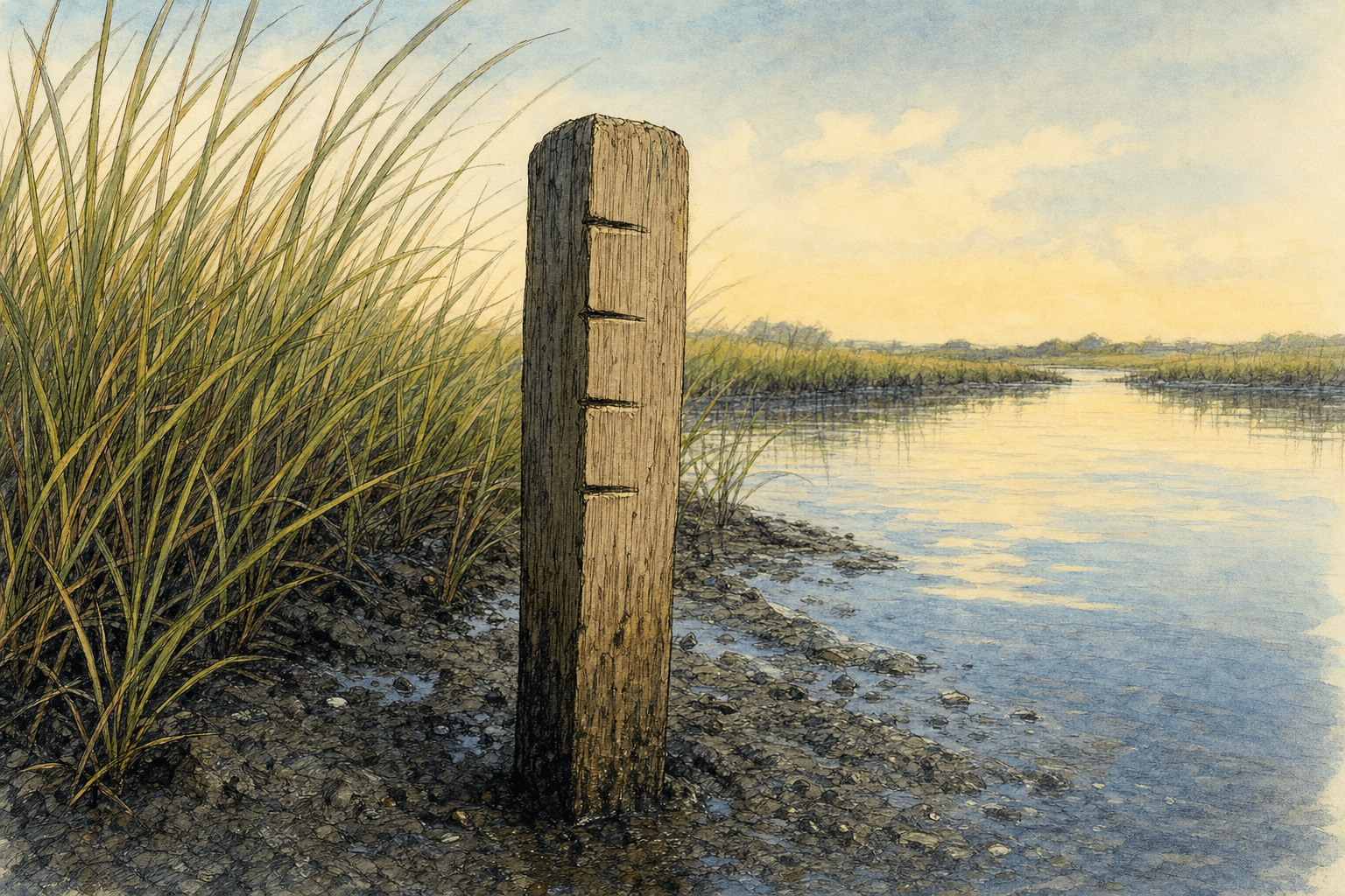
A swath of smooth cordgrass along the Narragansett Bay shoreline can outrun rising seas—provided it has room to climb. But when a marsh hits a stone seawall, a paved road, or a manicured lawn, it drowns.
That biological dead end is setting up a high-stakes conversation in Barrington.
On Wednesday, Aug. 12, town officials and residents will gather in the Town Hall Council Chamber from 1 p.m. to 2:30 p.m. for a working meeting on marsh migration pathways. The goal is to identify and prioritize upland land parcels that coastal wetlands will need to occupy as sea levels climb over the coming decades.
Local sponsorAffordable photography lessons in Newport, Jamestown, or your town.E.L. Photo RIThe stakes are immediate for a town built on low-lying necks and peninsulas. According to projections from the National Oceanic and Atmospheric Administration, sea levels in the region are expected to rise 1.6 feet by 2050 and 2.29 feet by 2060. State inundation modeling shows that if a storm matching the intensity of 1954’s Hurricane Carol struck today, floodwaters would effectively turn Barrington into a series of isolated islands.
Public marshes, private land
Salt marshes naturally adapt to rising water through accretion—depositing sediment and organic matter to build elevation while slowly creeping inland. But human infrastructure frequently blocks that retreat.
Allowing marshes to move landward requires conserving the dry land directly behind them. That requirement brings municipal planners face-to-face with real estate economics.
Research from the University of Rhode Island highlights the central conflict: while most property currently containing salt marsh is publicly owned, most adjacent land projected to become salt marsh by 2050 is privately held.
The financial gap is substantial. URI researchers found that parcels projected to host new salt marshes in 2050 carry 47% higher per-hectare assessed values than parcels containing existing marshland. Securing those corridors means negotiating with private landowners who may have little economic incentive to alter how their land is used.
Mapping the migration
The upcoming meeting builds on years of local resilience groundwork. In October 2024, the Town Council adopted Ready & Resilient Barrington, making Barrington the first small- to mid-sized municipality in Rhode Island to enact a local climate action plan.
The town’s coastal strategy is led by Teresa Crean, Barrington’s director of planning, building, and resilience, who joined municipal staff in 2022 after serving as a coastal management specialist at URI.
To guide land selection, planners are turning to data tools developed through the URI Salt Marsh Conservation Project, funded by Volkswagen settlement funds awarded by the Rhode Island Attorney General's office. The URI Environmental Data Center created a parcel-level prioritization tool that evaluates potential migration paths against parcel sizes, soil conditions, and proximity to existing protected open space.
Funding pathways for potential land acquisitions exist through the Rhode Island Infrastructure Bank’s Municipal Resilience Program, which has awarded over $17 million in action grants across the state since 2024. Local efforts also draw on three decades of conservation work by the Barrington Land Conservation Trust, which has assembled a patchwork of protected coastal open spaces throughout town.
The working meeting takes place Aug. 12 in the Town Hall Council Chamber.